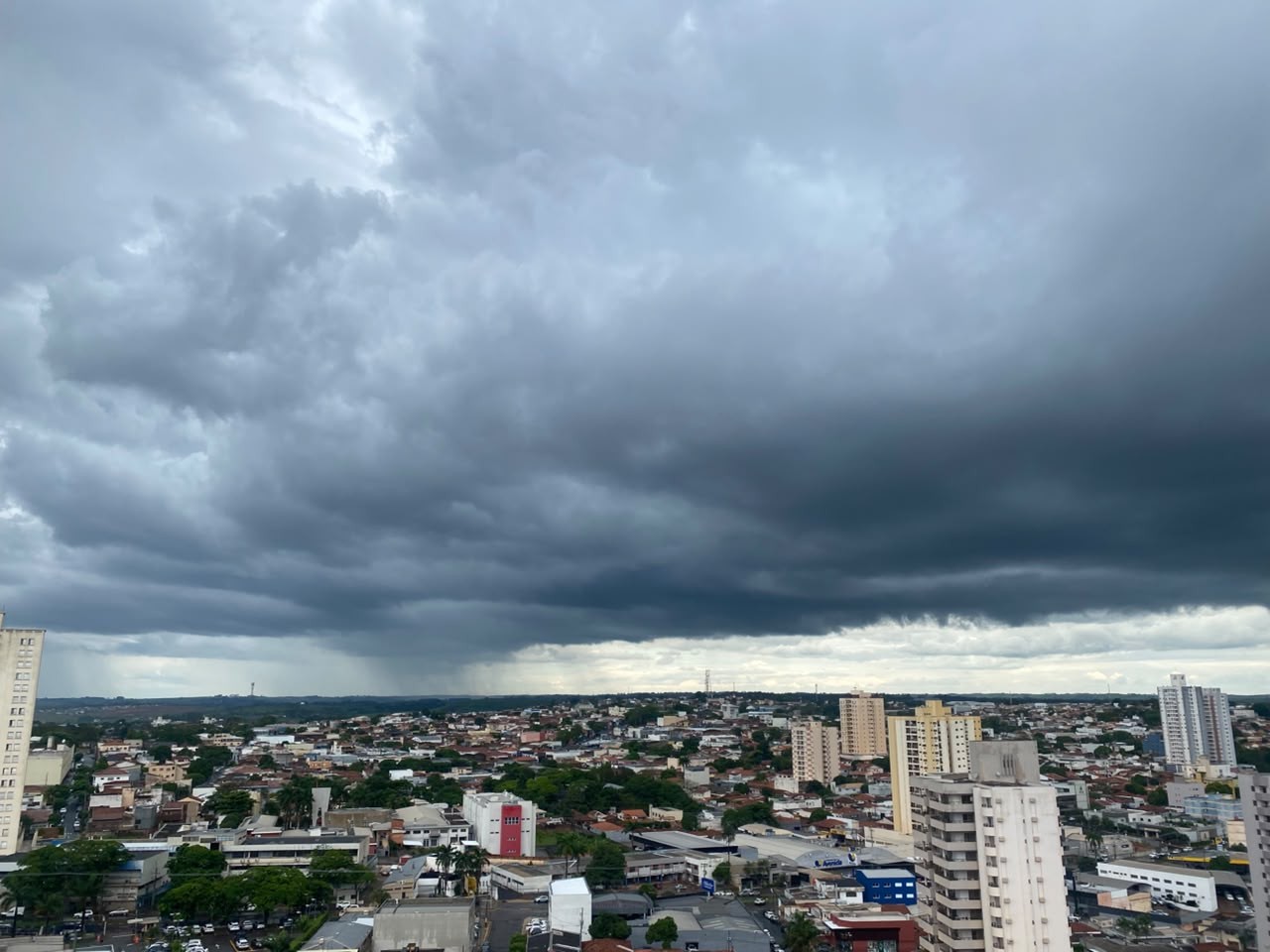
A potent cold front linked to an extratropical cyclone is sweeping across Brazil, delivering a dramatic double-punch of severe storms and plunging temperatures. The weekend weather shift has triggered weather alerts across multiple regions, forcing millions to prepare for hazardous conditions.
What Happened
The severe weather system is driven by an extratropical cyclone operating over the South Atlantic Ocean. This low-pressure system is generating intense weather contrasts, hitting the Southeast with torrential rain while driving a polar air mass deep into the South.
States like Espírito Santo, Rio de Janeiro, and Minas Gerais are facing significant rainfall accumulations, with some areas projected to receive up to 80 millimeters of rain in a short window. Meanwhile, coastal areas in Santa Catarina and Rio Grande do Sul are battling fierce wind gusts reaching up to 90 km/h in mountainous terrain, accompanied by dangerously rough seas.
Why It Matters
The collision of these opposing weather fronts creates immediate risks for public safety and infrastructure. Meteorologists have issued high-level warnings for flash floods, lightning, and potential hail in saturated regions like the mountainous areas of Rio de Janeiro and eastern Minas Gerais, where soil is already dangerously soaked.
At the same time, the incoming polar air mass is causing a sharp temperature drop. Cities across the South are bracing for near-freezing conditions, with forecasts pointing toward temperatures hitting 2°C in higher elevations and threatening vital agricultural yields with frost.
What's Next
While São Paulo will see a gradual easing of heavy precipitation as drier air moves in, rainy conditions will linger in Espírito Santo through Tuesday. In the South, the crisp, cold air will hold firm, keeping mornings exceptionally chilly into early next week. Forecasters are also monitoring the potential formation of the season's first South Atlantic Convergence Zone (ZCAS), which could prolong heavy downpours across parts of the country.


