What Happened
Summer heat is making a strong push back into the region, bringing oppressive conditions for mid-week. High temperatures are climbing back into the middle 90s, while the heat index is projected to eclipse the 100-degree mark due to lingering atmospheric moisture.
Areas located near and west of the I-65 corridor will bear the brunt of the intense humidity and sweltering conditions. This ridge of high pressure traps warm air near the surface, elevating heat-related risks for unprotected individuals. However, relief is on the horizon as atmospheric conditions begin to transition. An isolated shower or storm could pop up over western Kentucky late Wednesday, serving as the vanguard for a more active, dynamic weather pattern.
Why It Matters
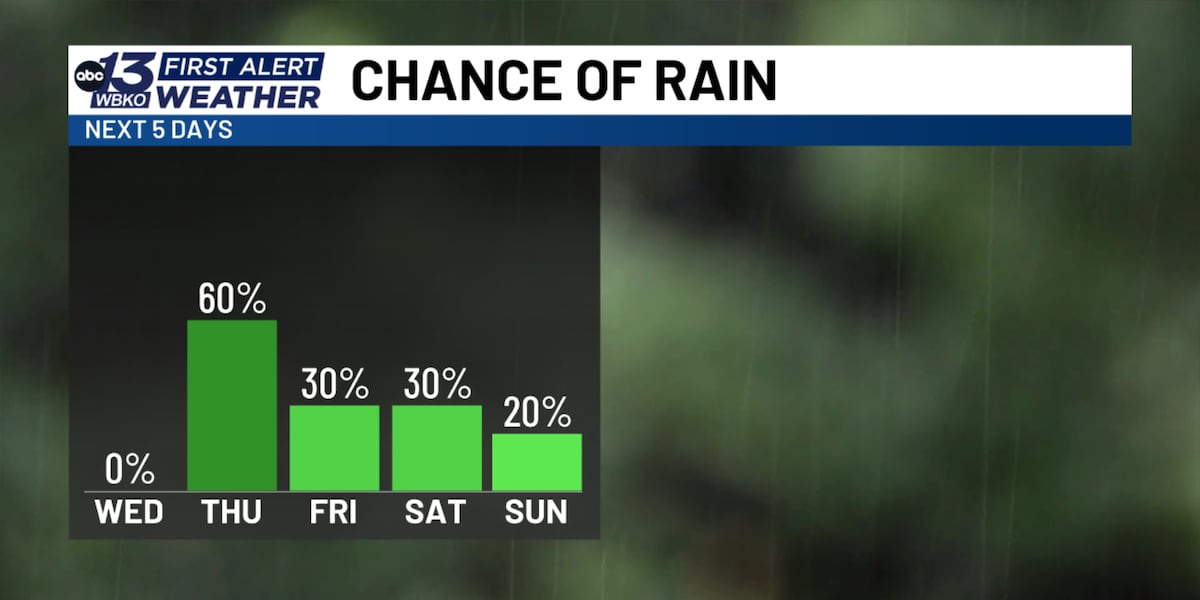
The rapid swing from dangerous heat to active storm activity requires heightened caution for anyone spending time outdoors. A cold front tracking into the region will trigger scattered showers and thunderstorms, primarily during the peak heating hours of the afternoon and evening on Thursday.
These storms carry the potential for gusty winds, heavy downpours, and frequent lightning, making outdoor activities and evening commutes potentially hazardous. The sharp contrast between the preceding hot, humid airmass and the incoming cooler front creates an environment ripe for sudden atmospheric destabilization. Keeping a close eye on local alerts is essential as the frontal boundary interacts with the lingering regional humidity.
What's Next
While Thursday's cold front will spark widespread rain chances and offer a brief, minor cooldown on Friday—shaving a few degrees off daytime highs—the broader summer pattern refuses to back down completely.
Rain chances will gradually taper off as high pressure builds back in over the weekend, but temperatures will waste no time rebounding. Highs are expected to return firmly into the 90s by Saturday and Sunday, stretching into the start of the following week. Residents and local stakeholders should prepare for persistent seasonal heat paired with intermittent storm threats as September weather continues to exhibit late-summer extremes.