What Happened
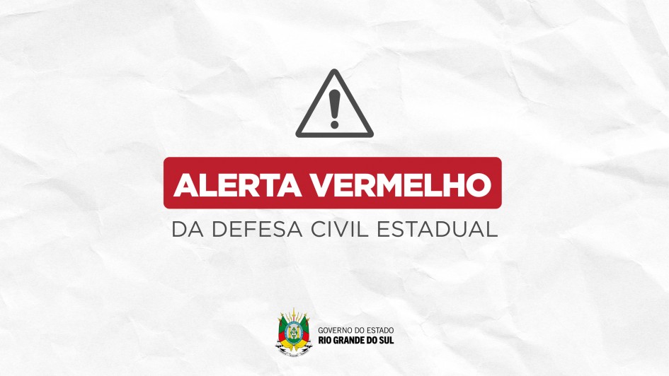
Civil defense authorities in Rio Grande do Sul issued an urgent red alert via cell broadcast for areas surrounding Novo Hamburgo, located in the Vale do Rio dos Sinos region. The emergency warning highlights a severe threat of large hail and a very high risk of structural damage, specifically roof destruction.
The advisory was rushed out directly to mobile phones in the affected zones using modern cell broadcast technology, bypassing traditional opt-in apps to ensure immediate resident awareness as severe weather systems sweep through the area.
Background and Regional Context
The Vale do Rio dos Sinos has historically been vulnerable to volatile meteorological phenomena due to its unique geographical positioning. Situated in southern Brazil, Rio Grande do Sul frequently acts as a collision zone where warm, humid air masses from the north meet cooler fronts advancing from the continent's southern tip.
In recent years, the frequency and intensity of these extreme weather events have escalated, prompting local governments to invest heavily in early-warning infrastructures. Civil defense agencies now utilize automated cell broadcast systems to transmit high-priority emergency notifications straight to citizen devices within seconds, drastically reducing response windows during flash storms.
Why It Matters
Extreme weather events pose immediate physical risks to dense local populations and vital regional infrastructure. With the potential for large hail and violent wind gusts, homes, commercial buildings, and agricultural setups face significant vulnerability to structural failures, shattered glass, and severe property damage.
Emergency services are operating on high alert, emphasizing that swift communication is critical to preventing injuries and minimizing property losses during rapidly developing storms. Municipal authorities must also contend with potential disruptions to power grids, local transportation networks, and essential public utilities.
Safety Measures and Emergency Contacts
Local officials have urged residents to consult their municipal Contingency Plans immediately to understand evacuation routes and safe shelter locations.
- Emergency Numbers: Residents facing immediate danger should contact the Military Brigade at 190 or the Military Fire Department at 193.
- Local Support: Individuals are advised to reach out directly to municipal civil defense offices for hyper-local updates and shelter availability.
What's Next
Real-time monitoring remains essential as unpredictable weather patterns continue to shift across the state. Meteorological agencies are tracking the trajectory of the storm front to determine whether neighboring regions will face secondary alerts. Authorities recommend tracking live updates through official channels, including the state's preparedness portal, which provides continuous data on radar imagery, river levels, road conditions, and active meteorological warnings.


