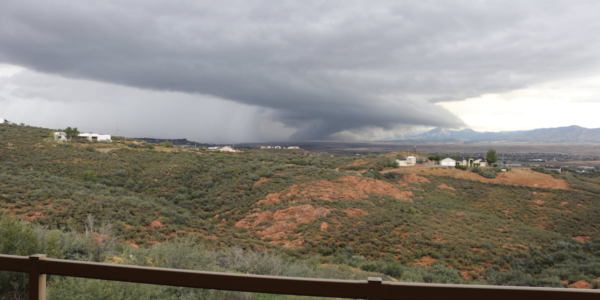
A rare and severe weather outbreak startled residents across northern Arizona on Wednesday, as at least 10 tornado warnings were issued throughout the High Country. Dark funnel clouds, dramatic lightning, and intense storm activity left locals stunned in a region unaccustomed to such dramatic twister threats.
What Happened in Northern Arizona
The stormy weather began early Wednesday morning, triggering consecutive tornado warnings across Yavapai and Coconino counties. Towns including Dewey-Humboldt, Prescott, Flagstaff, Valle, and Show Low fell under active radar-indicated rotation alerts.
Chief Meteorologist Royal Norman noted that a possible tornado formed directly over Dewey-Humboldt during the morning hours. Stunned residents captured footage of dark, spiraling cloud formations and striking lightning bolts stretching to the ground.
"I've never seen a tornado here in my life," said local resident Danielle Johnson, who was so unsettled by the spiraling clouds that she temporarily evacuated toward Phoenix.
The severe weather forced immediate precautionary steps. Officials confirmed that all seven Hopi tribally controlled schools would close on Thursday. Meanwhile, severe thunderstorm watches remained active across northern portions of the state into the early hours of Thursday morning.
Why It Matters: The Meteorological Context
While Arizona experiences seasonal monsoons and localized flash flooding, multi-tornado warning events in the High Country are exceptionally rare. The Storm Prediction Center highlighted an enhanced 5% tornado risk for the region, a threshold that immediately signaled high-end atmospheric instability to meteorologists.
The convergence of unusual low-level wind shear, dynamic upper-level energy, and sufficient moisture created a textbook environment for rotating supercells. For high-altitude communities unequipped with the widespread subterranean storm shelters found in the U.S. Midwest, even a low-probability tornado event introduces significant infrastructure and public safety challenges.
Why Storm Chasers Flooded the State
The rare threat of an Arizona tornado outbreak quickly drew national attention from elite storm chasers and photographers, including Mike Olbinski, Reed Timmer, and Jim Tang.
Olbinski tracked supercells overnight from Fountain Hills to Prescott, noting that the heightened threat brought out wave after wave of chasers eager to document a rare Arizona twister. Despite initial forecasting models pointing toward the Grand Canyon, changing low-level wind shear and localized thermodynamics convinced chasers to pivot their efforts across north-central Arizona.
What's Next / Future Outlook
As the active supercell system tracks eastward and out of the state, National Weather Service meteorologists are conducting damage surveys to confirm whether any radar-indicated rotations touched down as certified tornadoes.
While skies clear across Yavapai and Coconino counties, emergency management agencies are using the event to review emergency notification readiness in high-altitude towns, emphasizing that regional climate variability could make such unexpected severe weather anomalies more frequent in the future.


