What Happened
After an unusually prolonged stretch of dry, sunny weather that has dominated the region for weeks, local meteorological conditions are shifting rapidly. Daytime highs have been peaking comfortably in the low to mid-70s, but that stability is coming to an end. Thickening cloud cover is set to roll in quickly this evening as a robust weather front pushes across the region.
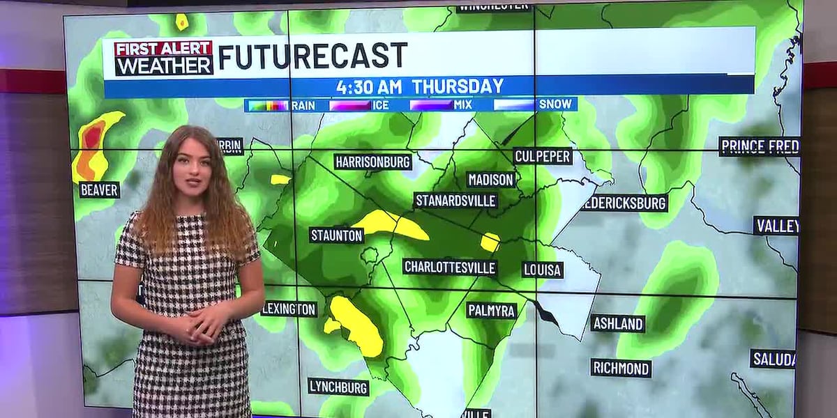
While current daytime hours remain warm and pleasant, forecasters are tracking the arrival of a breezy disturbance. This system carries the momentum necessary to trigger late evening showers, officially breaking the long-running dry spell and kicking off a more unsettled local weather pattern.
Why It Matters
The incoming system marks a definitive end to the recent dry streak, carrying significant implications for agriculture, local water reserves, and outdoor weekend logistics. While the approaching rain is welcome relief for parched soils, it is not expected to be a total washout.
Combined rainfall totals over the next three consecutive days are forecasted to remain relatively light, staying comfortably under half an inch across most areas. Thursday currently carries the highest probability of precipitation, meaning commuters and organizers of outdoor events may need a quick pivot in their plans.
Despite the disruption, the system is moving at a steady, reliable pace. This ensures that heavy, stagnant downstorms are unlikely, quickly paving the way for gradual atmospheric clearing just in time for the tail end of the work week.
What's Next
Looking ahead, Friday is expected to start with lingering morning clouds and a few stray, isolated showers before drier air scours out the moisture into afternoon sunshine. By Friday night, conditions are shaping up nicely with partly cloudy skies and comfortable ambient temperatures.
As the region pushes deeper into the weekend and toward early next week, a much more noticeable seasonal cooldown is on the horizon. High temperatures will drop significantly below the recent 70-degree averages, signaling a true transition into colder autumn air masses. Residents should monitor local updates as the front progresses to prepare for the sudden temperature plunge.


