What Happened
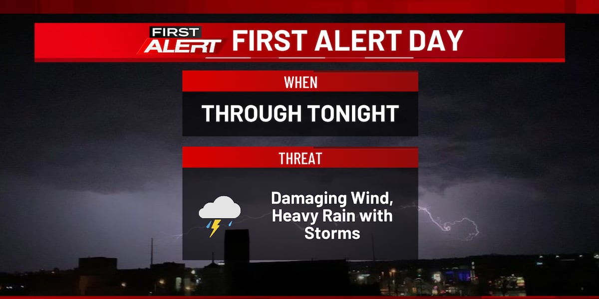
Eastern Iowa is bracing for a volatile stretch of weather, prompting KCRG to declare a First Alert Day through Tuesday night. A cold front is driving a heavy moisture supply into the region, setting the stage for showers and robust thunderstorms.
The primary window for severe weather spans from 6:00 p.m. to midnight. Damaging straight-line winds pose the biggest threat, though forecasters note that an isolated tornado or brief hail cannot be entirely ruled out.
Severe Weather Timeline & Risks
Storm activity will peak during the evening hours before transitioning into a heavy rainfall and flash flood threat overnight.
- Primary Threats: Damaging winds, frequent lightning, and localized downpours.
- Heavy Rain Zone: Areas near and south of U.S. Highway 20—particularly between Interstate 80 and Highway 20—could see 1 to 3 inches of accumulated rainfall.
- Flooding Concerns: Urban and flood-prone locations face isolated flash flooding risks. Drivers are strongly reminded to avoid flooded roadways under the golden rule: Turn around, don’t drown.
Safety and Preparedness
With storms developing rapidly after dark, residents should take immediate precautions. Ensure you have multiple ways to receive active alerts, such as a programmed NOAA Weather Radio or the KCRG-TV9 First Alert Weather App.
If a severe thunderstorm or tornado warning is issued for your area, seek shelter immediately on the lowest floor of a sturdy building, staying away from windows and putting as many walls between you and the outside as possible. Mobile home residents should evacuate to more substantial structures immediately.
What's Next: Relief and Weekend Outlook
Conditions will gradually improve by Wednesday afternoon as skies clear and temperatures peak in the low 80s. A refreshing injection of drier air will sweep into the region by Thursday, bringing lower humidity and comfortable morning lows in the mid-to-upper 50s.
However, the calm will be short-lived. A new and active weather pattern returns heading into the weekend, bringing additional storm and heavy rain chances from late Friday night through Monday night before temperatures cool closer to mid-September norms next week.