What Happened
The global climate cycle has officially shifted, placing El Niño firmly in the driver's seat for the winter season. This recurring climate pattern—characterized by warmer-than-average sea surface temperatures in the central and eastern tropical Pacific Ocean—acts as a massive thermodynamic engine. By altering ocean temperatures, it fundamentally disrupts standard atmospheric circulation, forcing the jet stream to meander far from its historical average path.
Depending on your geographical location, this atmospheric realignment is poised to completely rewrite seasonal weather forecasts, overriding standard expectations for local cold snaps and snowfall accumulation.
Why It Matters
El Niño functions as a primary lever on global weather systems, steering major storm tracks and dictating regional moisture distribution. Because of this teleconnection, the upcoming winter will feature stark geographical divides rather than uniform seasonal conditions.
The stakes extend far beyond outdoor comfort. Energy grids, municipal budgets, agriculture, and transportation networks rely heavily on historical weather baselines. When El Niño alters those norms, specific regions face heightened risks of severe weather events, while others experience unexpected droughts or unseasonal warmth. Recognizing these shifts allows stakeholders to preemptively manage energy consumption, water conservation, and infrastructure readiness.
What to Expect Locally
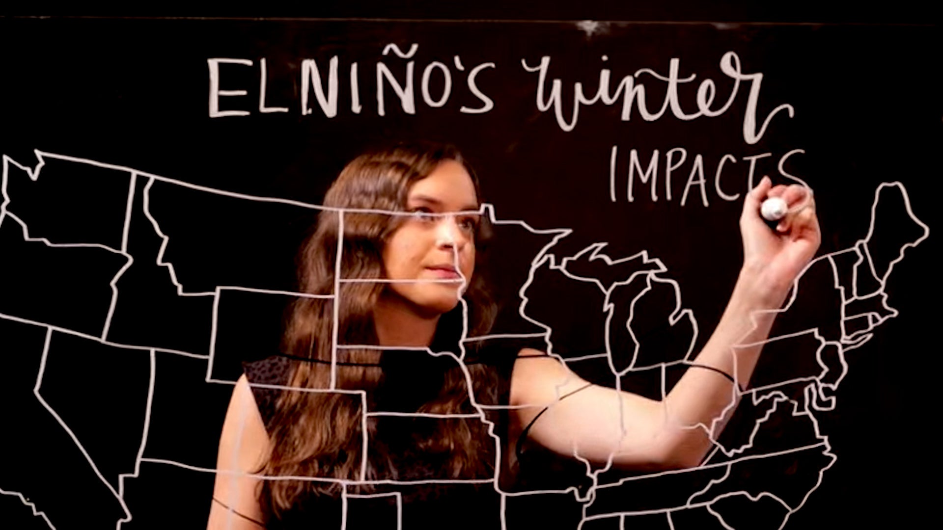
Meteorological models highlight a sharp regional divide under the influence of this active El Niño phase:
- The Northern Tier: Parts of the northern United States and Canada typically trend warmer and drier than average during a standard El Niño winter, leading to reduced snowpacks and lower heating demands.
- The Southern Tier: Conversely, the southern United States and parts of the Gulf Coast frequently experience cooler, significantly wetter conditions driven by a southern-shifted storm track, elevating the risk of heavy rainfall and localized flooding.
- Precipitation Volatility: Water resource managers in historically dry zones must monitor shifting storm paths closely, as heavy winter rains can replenish reservoirs or, conversely, bypass regions entirely and exacerbate drought.
What's Next
Meteorologists and climate scientists continue to monitor the strength, oceanic depth, and atmospheric coupling of this El Niño cycle as winter approaches. Because every El Niño event carries unique characteristics based on its intensity and global baseline temperatures, localized updates remain essential. Keeping a close watch on regional meteorological advisories will help communities anticipate how these broad global climate shifts translate into day-to-day weather in their backyards.