What Happened
Winter weather predictions are shaping up to be a dramatic atmospheric battleground as a strengthening Super El Niño goes head-to-head with an unusual, early-season disruption of the Polar Vortex.
While forecasters closely monitor the developing El Niño climate pattern—a warm-phase Pacific ocean phenomenon that typically favors milder winter temperatures across large parts of North America—meteorologists have detected a premature destabilization of the Polar Vortex high in the stratosphere. This upper-level disturbance threatens to destabilize the jet stream, potentially sending harsh arctic air plunging southward much earlier and more aggressively than standard seasonal models anticipate.
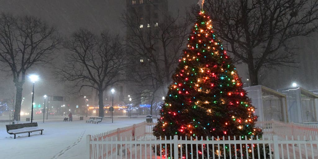
Despite expectations of a generally mild transition into late autumn across the Northern Tier, long-range outlooks from the Old Farmer's Almanac suggest that holiday travelers and festive enthusiasts might still get their wish for winter snow as these competing forces interact.
Why It Matters
The collision between Pacific air driven by El Niño and descending arctic blasts creates a highly volatile forecast carrying significant logistical and economic implications.
Sudden winter weather shifts directly impact domestic supply chains, holiday travel scheduling, energy grid demands, and retail sales. When extreme cold clashes with moist maritime air, it often generates high-impact winter storms capable of grounding flights and freezing interstate commerce.
According to seasonal outlooks, parts of 16 states are currently favored to maintain at least an inch of snow on the ground by Christmas morning. The geographic spread highlights the widespread nature of this year's volatile atmospheric setup, spanning regions across the Intermountain West and the Northeast, including:
- Pacific Northwest and West: Alaska, Washington, Oregon, Idaho, Nevada, and Utah
- Mountain West and Southwest: Montana, Wyoming, Colorado, Arizona, and New Mexico
- Northeast: New York, Massachusetts, Vermont, New Hampshire, and Maine
Additionally, secondary transition zones across parts of the Plains, the Midwest, and the Appalachians—stretching from the Dakotas down into western North Carolina—hold a distinct statistical chance of experiencing a snowy holiday backdrop.
What's Next
Predicting the exact outcome of this atmospheric tug-of-war remains a complex challenge for meteorologists. The National Oceanic and Atmospheric Administration's (NOAA) Climate Prediction Center notes that stratospheric disturbances typically take several weeks to fully propagate downward and influence surface-level jet stream behavior.
As winter approaches, any southward-drifting arctic air will have to aggressively contest the persistent, mild Pacific currents fueled by El Niño. Whether the Pacific warmth dominates or the Polar Vortex succeeds in delivering a widespread deep freeze will dictate regional heating demands and holiday travel conditions across the country in the weeks ahead.


