What Happened
An intense cold front is sweeping rapidly across the state of Paraná, threatening to push temperatures down near 0°C in the extreme southern sectors. This abrupt meteorological shift follows days of severe, highly unstable weather driven by a powerful extratropical cyclone that battered the region through Friday.
According to official data from the Simepar meteorological system, high-altitude and southern municipalities such as General Carneiro and Palmas are bracing for unusually harsh morning lows. Thermometers in these zones are projected to hit 8°C on Saturday, drop further to a brisk 5°C on Sunday, and bottom out at a frosty 3°C by Monday morning before stable atmospheric conditions begin to support a gradual recovery.
Context and Background
The setup for this unseasonable chill began earlier in the week when a deep low-pressure system organized offshore, intensifying into an extratropical cyclone. This system churned the Atlantic moisture and dragged heavy convective storms across southern Brazil.
While extratropical cyclones frequently impact the region during the transition months, the trailing polar air mass associated with this specific system is packing unusual punch for mid-spring. As the storm system tracks eastward into the open ocean, it leaves behind a clear void, allowing dense, cold continental air to flood directly into the southern plateau of Paraná unobstructed.
Why It Matters
The incoming drop in temperature is exceptionally dramatic for October, a period when local flora and agriculture are already well into their spring growing phases. Typically, historical baseline minimums for the southern region during mid-spring hover comfortably between 12°C and 14°C, making readings near 3°C an extreme statistical anomaly.
For local stakeholders, particularly small-scale farmers and agricultural producers in the southern plateau, sudden near-freezing conditions raise immediate concerns for sensitive crops and budding vegetation. Beyond the agricultural impact, daily commuters and vulnerable populations face health risks associated with rapid thermal drops.
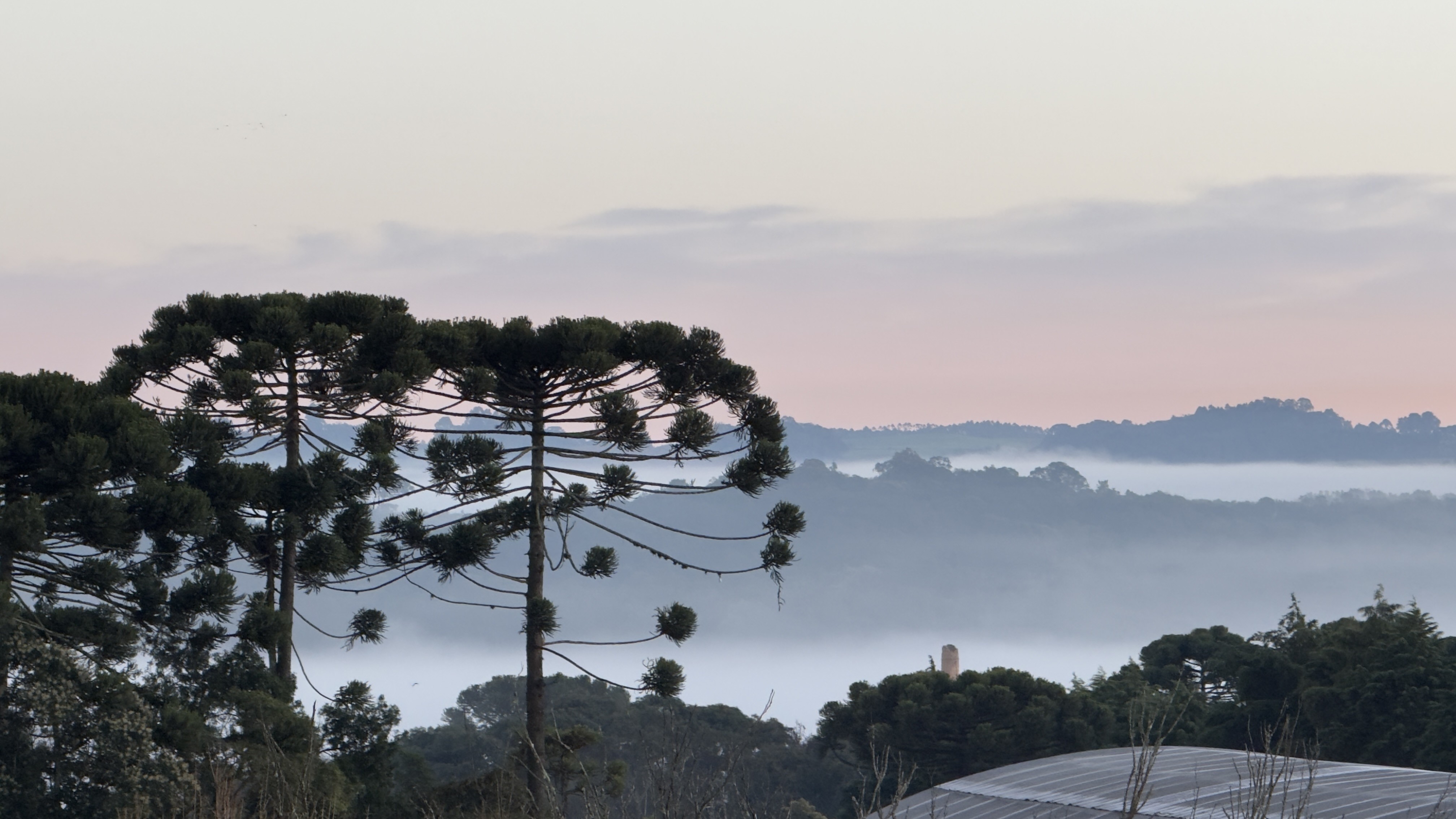
While the cyclone-driven rain is expected to clear out of most urban areas by the weekend—paving the way for clear, sunny skies on Sunday and Monday—the advancing cold air mass will make early mornings exceptionally harsh. Additionally, residents residing near the coast and the Serra do Mar mountain range must contend with lingering, localized moisture and dense morning fog alongside the plunging temperatures.
What's Next
Meteorologists emphasize that this specific cold snap will be relatively short-lived. High pressure is expected to shift eastward quickly, allowing daytime solar heating to take effect and pushing temperatures back toward seasonal averages starting Tuesday. However, residents, commuters, and agricultural operators across the affected zones must prepare for a sharp, unseasonable freeze over the weekend and early next week.


