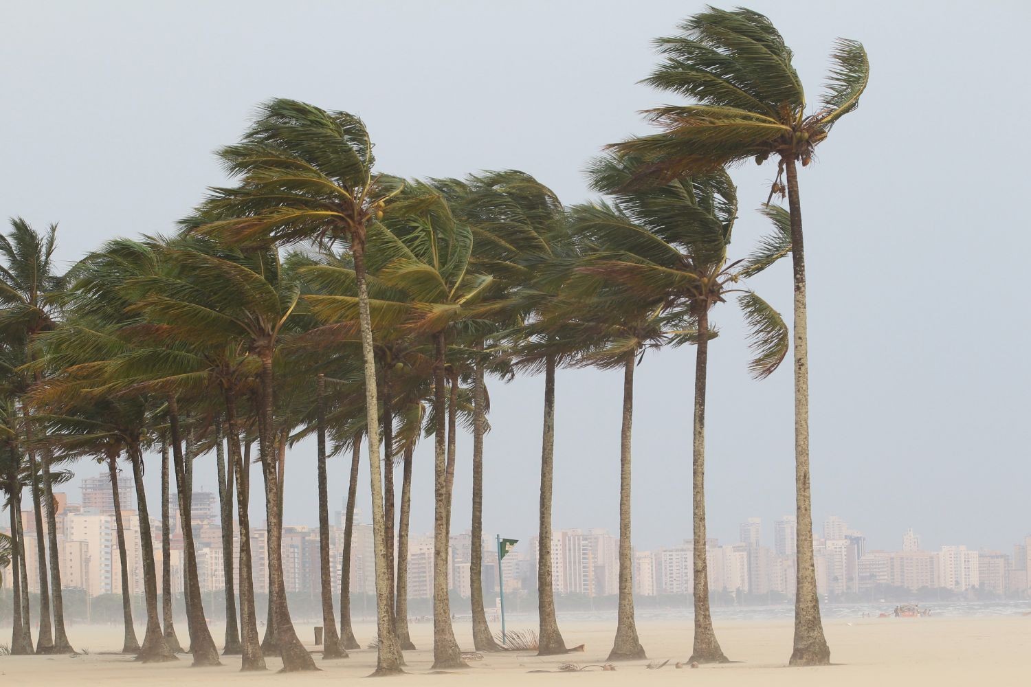
A dramatic shift in atmospheric conditions is sweeping across South-Central Brazil. Driven by an offshore extratropical cyclone, a fast-moving cold front is bringing heavy rainfall, lightning, and severe wind gusts reaching up to 70 km/h across multiple states.
Behind the Storm System
The rapid weather change stems from an extratropical cyclone forming over the Atlantic Ocean near the coast of the South and Southeast regions. This low-pressure system is drawing dense humidity from Brazil's interior, causing warm air masses to clash with cooler incoming currents.
Brazil’s National Institute of Meteorology (Inmet) has issued an orange danger alert for central-northern Paraná, alongside yellow weather warnings for surrounding areas. While extreme heat dominated early in the week—with temperatures hitting 37°C in Rio de Janeiro and 39°C in Cuiabá—the arriving system is rapidly breaking the heatwave.
Regional Impact Breakdown
The intensity of the front is triggering vastly different conditions across the country:
- Paraná & Santa Catarina: Bearing the earliest brunt of the storm, with heavy downpours, potential localized hail, and coastal wind gusts topping 70 km/h.
- São Paulo & Minas Gerais: Severe afternoon thunder showers will trigger a sharp temperature plunge. Highs in the city of São Paulo are expected to drop to 21°C by Friday.
- Rio de Janeiro: Pre-frontal heat will push temperatures up to 37°C before late-day storms bring heavy rain and squalls up to 70 km/h.
- Center-West & North: Lingering tropical heat combined with moisture will produce scattered, intense afternoon downpours, particularly in Mato Grosso do Sul and southern Amazonia.
- Northeast: Largely shielded from the cold front, the region remains under intense heat, with temperatures hovering near 40°C in interior cities like Teresina.
What Comes Next
As the extratropical cyclone shifts further east into the Atlantic Ocean heading into the weekend, the primary storm center will move away from the coastline. However, lingering marine air and cloud cover will keep temperatures significantly lower across São Paulo, Minas Gerais, and Espírito Santo, maintaining localized rain showers through Friday evening.


